 KL Observer
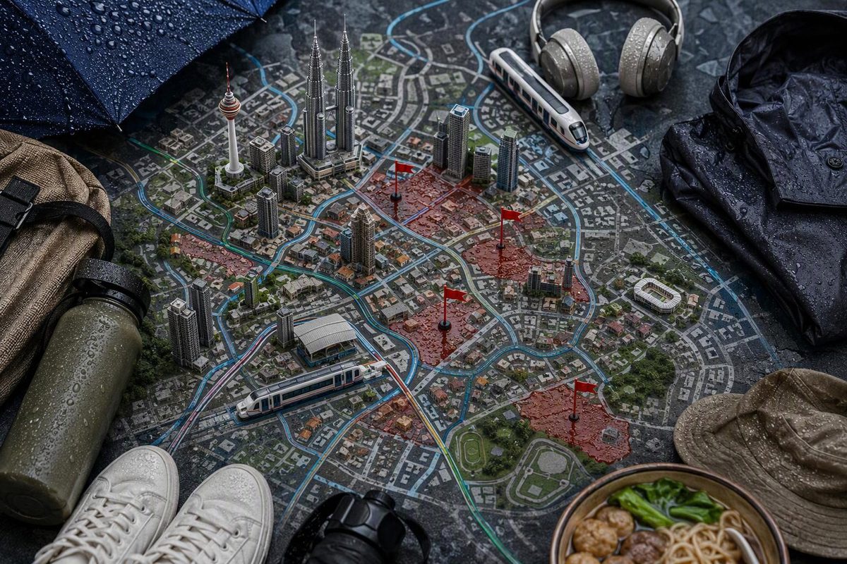
During intense rain, avoid leaving rail for a street-level route along Jalan Sultan, Jalan Tun Sambanthan, Jalan Pudu, Jalan Chan Sow Lin or the area near Bukit Jalil LRT station if there is ponding, an official warning, a closed entrance or a direction from staff or emergency services. These locations appear in reporting on DBKL’s flood-prone areas or recent flooding.
A hotspot name does not mean an entire road floods during every storm. Current conditions are the deciding factor: do not test visible floodwater simply because a destination looks close or the station remains open.
Choose your area and the condition outside the station to get a rail-first decision.
KL Flood Route Check
This checks the reported location against what you can currently see or have been told. It does not provide live flood or train data.
Do Not Enter the Street Route
Do not use Jalan Sultan as a walking link. Stay in a safe, permitted indoor area or continue by rail if services allow.
Pasar Seni LRT/MRT and Merdeka MRT serve the wider Chinatown area, but an open station does not prove that Jalan Sultan is passable.
Source: DBKL locations reported by New Straits Times on May 12, 2026. Rail context is drawn from the guide above; current conditions remain unknown to this checker.
DBKL Reporting Names Ten Flood-Prone Roads
In reporting published on May 12, 2026, Kuala Lumpur mayor Datuk Fadlun Mak Ujud said DBKL was giving special attention to 14 flood-prone areas. The report named ten: Jalan Rahmat/Jalan Sultan Azlan Shah, Lebuhraya Sultan Iskandar, Bulatan Dato Onn, Jalan Tun Sambanthan, Jalan Chan Sow Lin, Jalan Sultan, Jalan Cheras, Jalan Pudu, Jalan Genting Klang and Jalan Pintasan Segambut.
It also reported flooding in Kuchai Lama and near Bukit Jalil LRT after Sungai Kerayong exceeded its danger level. DBKL said the number of water-ponding hotspots had fallen from more than 30 to 14 following mitigation and drainage works (New Straits Times).
The report describes the named roads as “among the identified locations,” so the ten names should not be treated as DBKL’s complete list of 14.
| Road or area | Rail context | Decision during a downpour |
|---|---|---|
| Jalan Sultan, Chinatown | Pasar Seni LRT/MRT and Merdeka MRT serve the wider Chinatown area | If Jalan Sultan is ponded or access is restricted, do not use it as a walking link. Wait in a safe, permitted indoor area or continue by rail if services allow. The Dayabumi–Pasar Seni route is a normal-weather walk, not a flood detour. |
| Jalan Tun Sambanthan, Brickfields | KL Sentral, Muzium Negara MRT and Tun Sambanthan Monorail serve the district | Postpone a Little India street walk if the road or crossing is affected. Use an indoor connection where one serves the destination, or remain under safe cover. |
| Jalan Pudu | Pudu LRT is on the corridor; Hang Tuah and Bukit Bintang serve other parts of the wider area | Do not assume Pudu is the right exit merely because it is nearest on the map. Continue to another suitable station only after checking service information and the onward route. |
| Jalan Chan Sow Lin | Chan Sow Lin is a rail interchange | A functioning interchange does not establish that the roads outside are passable. Follow staff directions if an entrance is restricted, and do not descend into visible ponding. |
| Near Bukit Jalil LRT | This is the main rail stop for the National Sports Complex area | The reported May flooding affected the area near the station itself. If access is flooded, follow staff directions, wait somewhere safe or continue by rail. Do not improvise a long exposed walk from a neighbouring station. See the normal-weather Bukit Jalil cluster guide. |
| Jalan Rahmat/Jalan Sultan Azlan Shah, Bulatan Dato Onn and Jalan Cheras | These broad roads pass through or near several rail catchments | Avoid changing from rail to a bus, car or long walk if the onward road is affected. A different rail exit helps only when its street approach is clear. |
| Lebuhraya Sultan Iskandar, Jalan Genting Klang and Jalan Pintasan Segambut | These are road-led corridors with less convenient rail substitution | Delay the trip or remain in a safe indoor location. A ride-hailing car is not a useful workaround if it must enter the same flooded corridor. |
Rapid KL’s official integrated transit map can help identify another station or interchange. Its journey planner provides suggested routes, journey duration, stops and interchange details.
Neither tool confirms that a train is currently running or that the pavement outside a station is clear. Check service information and the street approach separately before changing your route.
Flooding Can Extend Beyond the Named Hotspots
The risk is not confined to the locations reported in May. On September 20, 2026, firefighters attended four flash-flood incidents in Ampang, Taman U-Thant and Jalan Ampang. A vehicle on Jalan Mengkudu was stranded in water reported at 0.9 metres deep, and firefighters rescued its occupant. Two people were rescued from another car in Taman U-Thant. A flooded home also had a reported electrocution risk (New Straits Times).
The following day, the mayor said Lembah Keramat had accumulated 155.5mm of rain by 5.30pm, compared with the usual 30mm, after heavy to very heavy rain across upstream Klang Valley catchments (Malay Mail).
That storm affected places beyond the roads named in the May report. A hotspot list is useful for advance planning, but it cannot predict every street that will be affected during a particular downpour.
Use Weather, Flood and Rail Information Separately
Move out of an exposed route first. Enter a safe, substantial building or an open station if its access is clear. Never descend into a visibly ponded underpass, entrance or stairway.
Then check three different types of information:
- Weather conditions and warnings. These indicate the severity and likely duration of the rain but do not establish whether a particular station exit is passable.
- Flood and river information. The Department of Irrigation and Drainage’s Public Infobanjir provides real-time hydrological monitoring and flood-warning information.
- Rapid KL service information. This establishes whether rail services or particular facilities are affected, but not whether every pavement beyond the station is clear.
Ask station staff which exit is usable and follow barriers, closures and evacuation instructions. A neighbouring station is not automatically a safe alternative if reaching the destination still requires a long walk through the same affected district.
Flood Sirens Require Immediate Attention
Kuala Lumpur’s flood-warning system uses different siren patterns. A slow continuous tone accompanied by a Bahasa Malaysia announcement means river levels are rising and low-lying riverside areas could flood.
A faster danger siren means flooding is imminent or already occurring. Evacuate immediately as directed to a temporary evacuation centre or designated higher ground (NADMA).
During intense rain, the safer rail-first plan is often shorter than the original itinerary: remove the street segment, keep away from visible floodwater and resume only when both the station exit and the route beyond it are clear.