 KL Observer
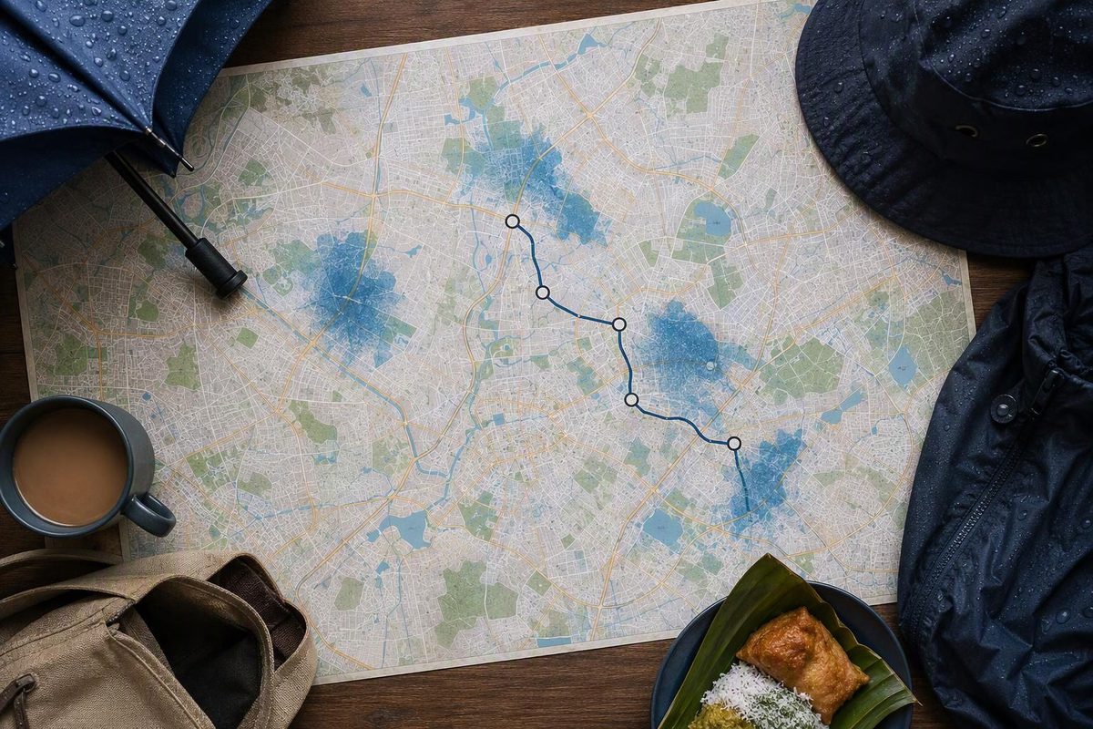
For travel during heavy rain, put Ampang, Taman U-Thant, Jalan Ampang, Damansara, TTDI and Segambut on a route-adjustment watchlist. Flooding was also reported around Bangsar and Universiti Malaya on September 26, 2026.
This is not a permanent ranking of Kuala Lumpur’s most flood-prone neighbourhoods, nor evidence that every street in these areas floods. It is a dated record of places affected during two recent events—September 20 and 26—which can help visitors and commuters shorten a route when another downpour develops. A September 21 article discussed the previous day’s flooding; it was not a separate third event.
Recent flood locations and useful rail approaches
| Area or road | What was reported | Rail-led approach during heavy rain |
|---|---|---|
| Ampang township | On September 20, a vehicle near Tuscany Home Furnitures on Jalan Mengkudu was stranded in water reported at 0.9m deep. Firefighters rescued its occupant. | Use the Ampang Line to Ampang station if it fits the exact address. The station does not remove the need to check the final road connection. |
| Taman U-Thant and Jalan Ampang | Two people were rescued from a car in Taman U-Thant. A home flooded, and an unoccupied vehicle was found in floodwater near Menara Safuan on Jalan Ampang. | For the central Jalan Ampang corridor, use the Kelana Jaya Line at Ampang Park, Damai or Jelatek, depending on the address. Taman U-Thant still requires a street-level final stretch. |
| TTDI and Damansara | Flash floods and congestion were reported on September 26, including along Jalan Damansara. | The Kajang Line is the useful spine for destinations near TTDI or Phileo Damansara stations. Jalan Damansara is long, so confirm which station actually reduces the road journey. |
| Segambut and Jalan Ipoh | Roads in Segambut were reported inundated; contemporary coverage also showed flooding on Jalan Ipoh. | The Putrajaya Line can reduce road travel for addresses near Jalan Ipoh, Sentul Barat or Kentonmen stations. Deeper parts of Segambut still need a road connection. |
| Bangsar and Universiti Malaya | Bangsar was among the places reported flooded on September 26. Floodwater was also shown at one of Universiti Malaya’s main gates, while Jalan Bukit Pantai was among the congested roads. | The Kelana Jaya Line serves Bangsar and Universiti stations. Verify the station exit and onward street before leaving shelter. |
The September 20 details come from The Star’s report based on Kuala Lumpur Fire and Rescue Department information. The rain was exceptional: the KL mayor said Lembah Keramat recorded 155.5mm by 5.30pm, compared with the usual 30mm, with heavy to very heavy rain observed around upstream Ampang, Klang Gates Dam and Lembah Keramat (Malay Mail/Bernama).
For September 26, The Star listed Damansara, TTDI and Segambut among affected places, while Free Malaysia Today also listed Bangsar, central Kuala Lumpur and Kajang. Those reports drew partly on social-media posts and footage; The Star said authorities had not issued a situation statement by its press time. Treat the locations as a recent warning list, not a complete official flood map.
The station suggestions follow Rapid KL’s official integrated transit map. A nearby station is only a way to reduce road exposure—it does not establish that an entrance, underpass, pavement or connecting road is dry.
Were KL’s rail lines running?
As checked on September 28, Rapid KL’s dashboard marked the Ampang, Sri Petaling, Kelana Jaya, Shah Alam, KL Monorail, Kajang and Putrajaya lines as operating normally (MyRapid service status). Rail was therefore the more workable trunk for a cross-city journey, but two notices affected planning that day:
- Ampang Line: trains from Ampang turned back at Chan Sow Lin. Passengers travelling between Ampang and Sentul Timur had to change there. Rapid KL described this as a temporary operating mode, with five-minute peak and eight-minute off-peak frequencies (September 28 notice).
- Kelana Jaya Line: Rapid KL expected increased passenger numbers and implemented crowd controls at Sri Rampai, Wangsa Maju, Setiawangsa, Jelatek, Masjid Jamek and Pasar Seni (September 28 notice).
Check the live dashboard and individual notices again immediately before departure. “Normal service” describes railway operation, not conditions outside a station.
Make the go/no-go decision before leaving
- Check warnings close to departure. METMalaysia’s official portal provides thunderstorm warnings, radar and nowcasting. These are more useful for an imminent journey than relying only on a broad daily forecast.
- Check Public Infobanjir. Its flood-alert page displayed “No flood forecasted” at 10.05am on September 28. The department says its flash-flood warning objective is one to three hours’ notice for events focused on river overflow, so no listed forecast is not proof that every street is clear.
- Use rail as the trunk, not a guarantee. Check the exact station exit and final walking or driving segment. If that link depends on a waterlogged road, drop the stop.
- Keep to one cluster. Do not combine Jalan Ampang, TTDI and Segambut on the same wet afternoon. Sightseers can switch to one of these three compact KL rain-day area plans.
- Do not enter floodwater. If the final stretch is flooded, remain under cover, change the destination or return by rail. Fire and Rescue advice published by NADMA tells drivers not to cross flooded areas because the depth and road surface can be difficult to judge; drivers should use another route and follow authorities’ instructions (NADMA).
The practical wet-weather rule is to preserve the rail journey, shorten the exposed connection and abandon any stop whose last road or footpath is already taking water.